
History - 19th century - Charles Booth - London

What did the street colors on Charles Booth’s 1898–99 maps of London mainly indicate?

Correct!
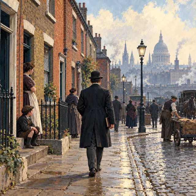
The colors made differences in wealth and poverty visible street by street. Charles Booth and his team investigated living and working conditions in the metropolis. Observations and records from the streets surveyed were brought together to compile the maps. The colored classifications reflected researchers’ judgments at the time, rather than a neutral automatic measurement of every individual. Some historical category names were derogatory and should not be repeated uncritically today. The maps also show how closely different living conditions could coexist. Their main purpose was not to identify building age, religious affiliation, or fire districts. The surviving material is now an important source for the social history of late Victorian London.