
Nature and environment - Geology and natural phenomena - Volcanoes - Geology

What do permanently installed GNSS receivers measure especially precisely when monitoring a volcano?

Correct!
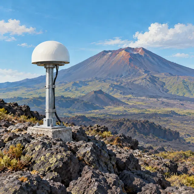
GNSS receivers determine their position using navigation satellites. If a receiver remains firmly attached to the ground, repeated precise measurements can show whether that point rises, subsides, or moves sideways. A network of stations reveals spatial patterns of ground deformation. When magma collects in a storage region, the surface above can bulge upward. When magma is withdrawn, it can subside. Movement on faults can also displace monitoring points. GNSS is the collective term for satellite navigation systems; GPS is one of them. These instruments observe ground motion rather than measuring magma directly. Possible causes can only be assessed with geological models and other data. One change in position does not establish an exact eruption time.