
Nature and environment - Climate and weather - Weather - Measuring instruments

What principle allows weather radar to locate precipitation?

Correct!
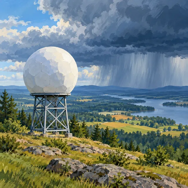
Weather radar transmits electromagnetic pulses and receives the small fraction scattered back toward it by precipitation particles. The echo's travel time reveals their distance. The antenna's orientation provides their direction. The returning signal's strength depends on factors including particle size, number, and type. Specialists can use it to identify precipitation areas and estimate intensity. A radar image is therefore neither an ordinary photograph of clouds nor a direct measurement of every raindrop at ground level. Additional radar techniques can examine, for example, motion along the radar beam or differences between precipitation types. Limitations remain: mountains can block the beam, and at greater distances the instrument often samples higher air layers. Not every echo represents rain reaching the ground directly below.


